
Tikwalus 1848 Heritage Trail
- Jocelyn Timmermans

- 1 minute ago
- 3 min read
April 24, 2026 -- Fraser Canyon
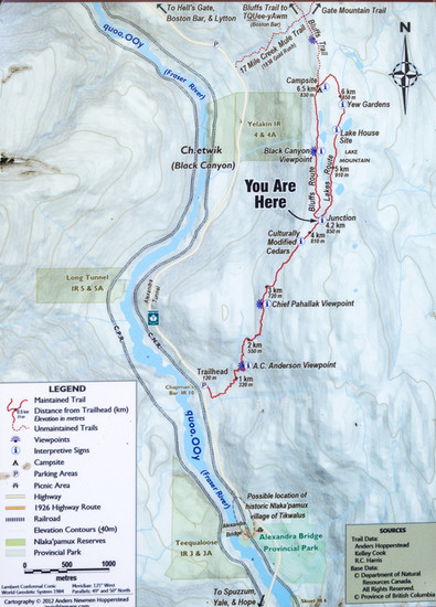
Stats: 12.15 km / 1072m gain / 971m high / 4:30 hours MT
This trail allows hikers to retrace one of the earlest pioneer routes to the interior. The story unfolds as you read the nine large signs along the way.

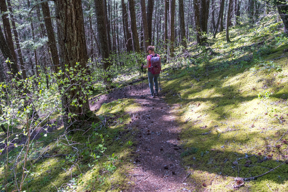
We parked just past the old Alexandra Lodge and started hiking at 9:25am.


I'd never seen so many Calypso Orchids before.
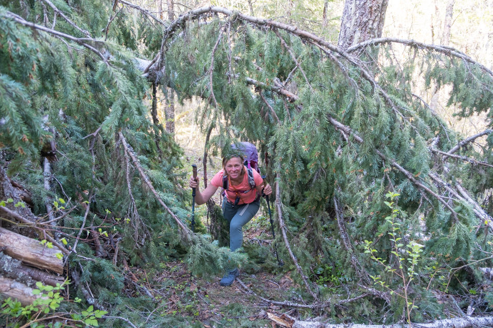
I talked to Kelly from the Hope Mountain Center. Their team had not been out to clear the trail yet. I promised to report back to him regarding how many large trees had fallen. There were about 30 larger trees but most of the blow down did not slow us down. It was easy enough to just step over them.

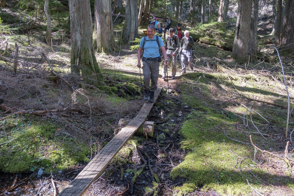
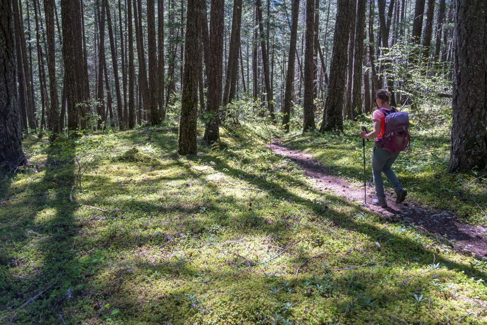
The only significant water source was 45-minutes in.

This giant tree has been there for a long time.


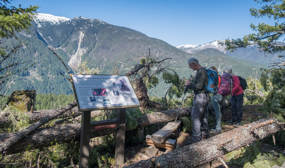
Two trees had fallen on the benches by the Chief Pahallak viewpoint. At this point we regrouped and had most of the steep climb behind us; 565m gain and 2.6 km in.
Looking west at Black Canyon.


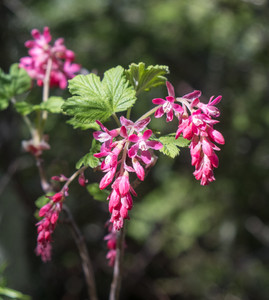


Red-flowering Currant Elk poop

This area by the group of large cedars and close to the loop juncton, had the worst blow-down. On the way back we stayed to the right of it.


The cluster of large cedars.


An old corduroy road.

The Black Canyon viewpoint. We'd stayed left at the junction, taking the Bluffs route to the campsite, therefore doing the loop clockwise. Highway 1 and Hells Gate beside the Fraser River were below us -- north.

Looking at Spuzzum Mt (1800m) -- west.

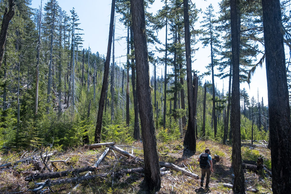
Starting a short descent before getting back on the ridge. Goat Mt (center) is accessible from this trail but too long for one day. We'd done it several years ago in one day, taking the shorter steeper 1858 trail which was very difficult to navigate because about a third of it has been completly obliterated by a landslide.

Small Lodgepole pine trees covered the ridge.
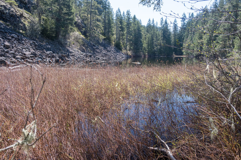
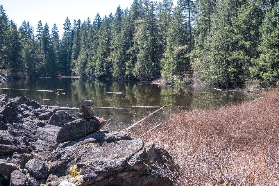
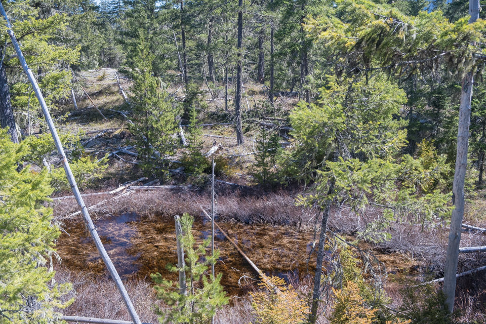
We took a short side-trail to the second lake.

Avalanche lilies grew in abundance by the campite. A sign that the snow had recently melted.
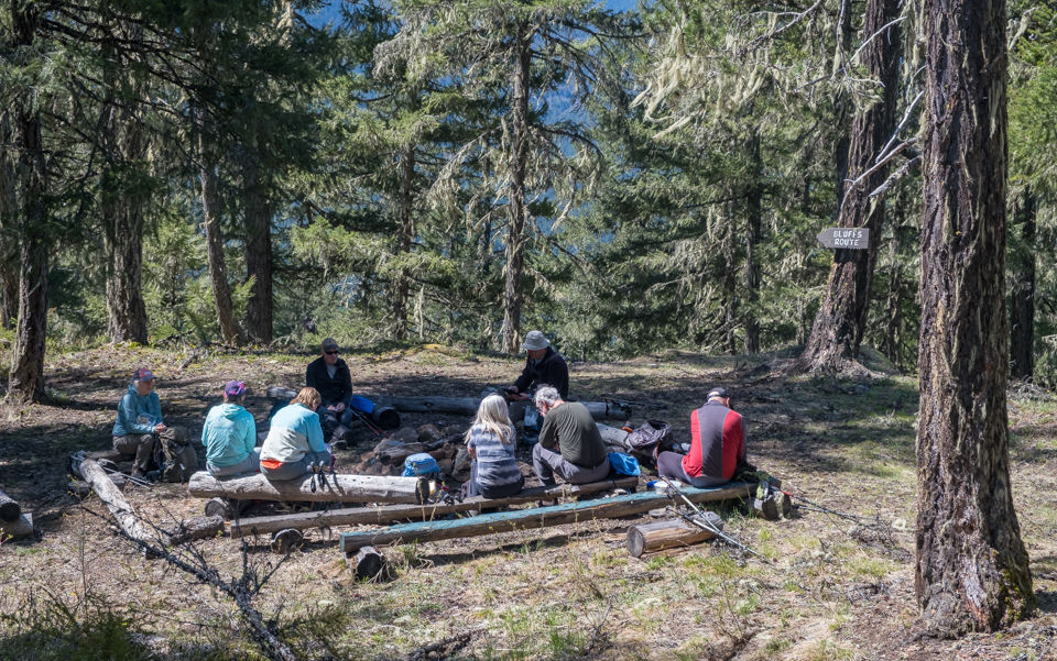
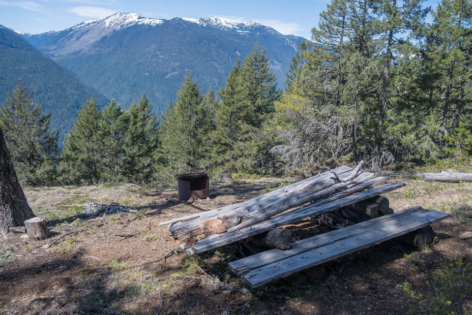
After 2.5 hours of hiking we were good and ready for lunch. This campsite is equipped with a bear cache, outhouse, three firepits and a broken picnic table.

I walked past the bear cache, and close to the junction for the 1858 Goat Mt trail.


A lonely hiker by a viewpoint. Looking at the Stein Mountain range -- northwest.


Group shot, back row, L to R: Heather F, Sheri K, John Mc, Stelian A, John Laf, Brian H, Lori Y, me
Front row: David G, Dawn L

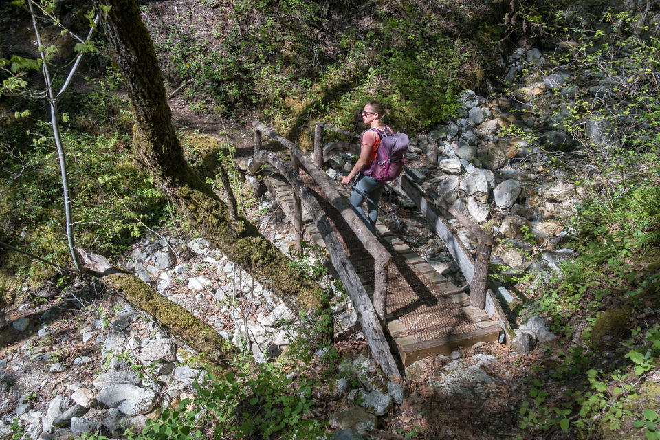
Taking the Lake Trail back.
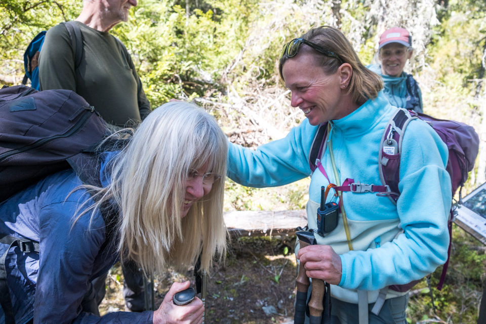
I stepped into the bush to take a close-up photo of a yew tree. Heather saw a tick on my hair! After that us ladies all wanted to be checked.

At the area where the Lake House used to be. The story goes that a squatter named Gibson was selling illegal whisky at this popular stop for the gold miners. The local judge couldn't find anyone to testify against him so he sent an officer out there to burn the house down.
Black skeletal trees from the 2004 fire.

A Western Yew tree.

I was warned by a member that a fire had started overnight by Hell's Gate. I checked the safelinks website + DriveBC and there was no indication on the map of a fire + the highway was still open. It was a small contained fire. We watched 2 helicopters fly back and forth, dipping their big buckets into the Fraser and dropping the water onto the slope. In the afternoon the wind picked up so the smoke was more visible. But we were far enough away from it and didn't even smell the smoke.


The last kilometer is always a knee-grinder.

We had the first tail-gate party of the season. I took my cooler and some drinks along.


Comments