
Laughington Summit

July 31, 2026 -- Chilliwack River Valley
Stats: 19.4 km / 1410m gain / 1772m high / 6:35 hours MT / 4WD
What a day! The Airplane FSR was in much rougher shape than two years ago. We had to park lower which added about 6km & 300m gain to the hike. Would we make it to the summit or not? Seven of us did and four were satisfied with the knoll where we could see all of the Cheam Range, up close and personal.
We turned left off of Chilliwack Lake Rd onto Chipmunk FSR, taking a right on the pot-holed Foley FSR and then a left onto Airplane FSR, crossing a bridge over Chilliwack River first.

Two years ago I had driven over this section of road. Now it's erroded so much more. Iraj said we could do an oil change here. I had driven with one wheel on the right and one on the left side of the gully, on three separate excursions. Now only a side-by-side can squeeze by the one side of it.
We had to dodge the alders that gave us much appreciated shade. Here we got our first views of the Cheam Range.

At this point we did a sharp turn on the FSR and then a short steep section on a trail through the forest.
Cheam, Lady, Knight & Baby Munday.

Here we're climbing up onto the knoll that has been our destination on the last two excursions when we did it in the late winter months, with snow on the ground. On the way back we skirted to the side of the knoll, following an AllTrails route that involved some serious bushwhacking just before it connected to the trail we'd come up on.

Welch & Foley Peaks.

View south from the top of the knoll. Rexford & Slesse Mtns.
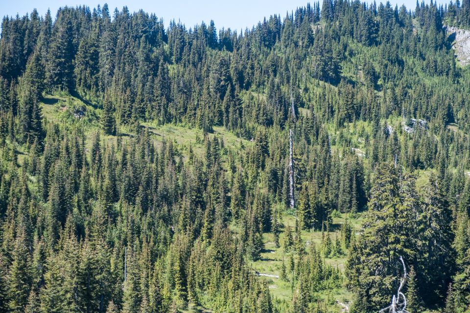
Lower center of pic by that vertical log was a bear. Up on the ridge we got to a spot where the smell of rotting meat was quite strong.

Mt. Baker came into view when we rounded the corner to get onto the ridge leading to Laughington.

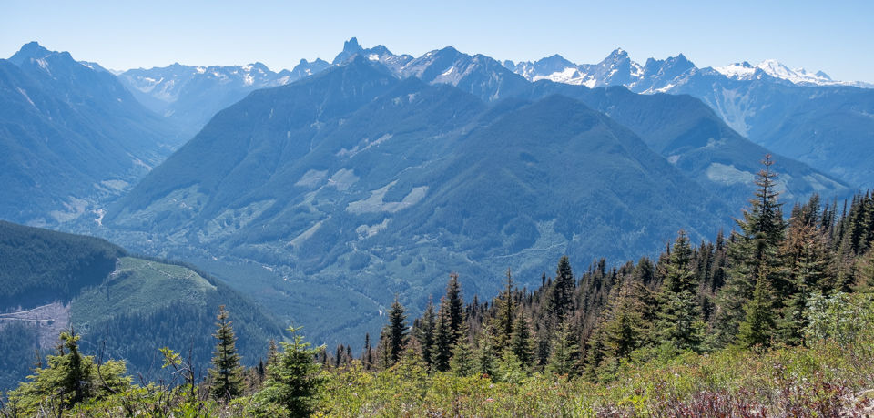
south

McGuire to the right.

We had agreed on a 1:00pm turn-back time. But we were only 15-minutes from the summit. So the decision to proceed was unanimous.


Sumas Prairie in the distance -- north.

north

Group shot: Iraj F, me, Ken V, Brian H, Denise D and in the back: Joe K + Patrick R
Those who stopped at the knoll at 11:30pm were: Lori B, Charlotte H, Mark S & Jan S


Cheam (2040m), Lady Peak (2130m), Knight (2160m),

Knight, Baby Munday (2100m), Stewart (2160m) tucked in behind Baby Munday, The Still (2160m), Welch (2280m) + Foley (2160m)

Heading back after a half-an-hour lunch break. Haze to the east from the Hozameen Fire.

There were three swells & dips on the ridge. The rocky outcrop to the lower left is the knoll where we parted ways with the other four hikers.


Descending into Chilliwack River Valley.

We did some pretty intense 4x4ing. I was the only one who'd driven through this very steep drop. I was not looking forward to doing it on the way back. But the guys gave me some good moral support, telling me to stay left. So I hit the gas, with my heart in my throat. I saw Joe jumping out of the way. My rear end lost some traction on the right side and swung to the right. But I made it up with no damage done. Unlike Patrick who ended up with a big dent in his passender door. He'd hit a thick cut-off tree branch that was protruding onto the road and not leaving much wiggle room.
A big thankyou to Mark & Patrick for driving.

Chilliwack River Rd is in the lower centre of this pic. Foley FSR is the grey dotted line between the road and that small piece of blue to the centre right. So you can see we did not get very far with our 4WDs.


Comments