
Ptarmigan Ridge

Updated: Jul 23
July 22, 2026 -- Mt. Baker Snoqualmie National Forest, WA
Stats: 20.6 km / 870m gain / 1973m high / 5:50 hours MT
It was a picture perfect day. And as I suspected, the hot unbearable temperatures and haze in the Fraser Valley were not an issue, being so close to Mt. Baker. The cool breeze sweeping off of Mt. Baker's glaciers felt refreshing. Although at the end of the day, me and my two dutch students were slathering on the After-sun lotion. Our unprotected skin was glowing red and sore. I guess the pre-existing tans didn't protect us from sunburn. Vincent said, "Even though we're burnt and the VISAs cost $250.00 each (can only get a minimum of 3 months), the day was still worth it!"

This hike has wide open views 100% of the time. Indian Paintbrush in the right corner.

Flox.

After passing the junction to the Chain Lakes trail, the trail wrapped round the black pinnacle to the left and followed along the south-facing side of Ptarmigan Ridge at the base of Mt. Baker -- south.
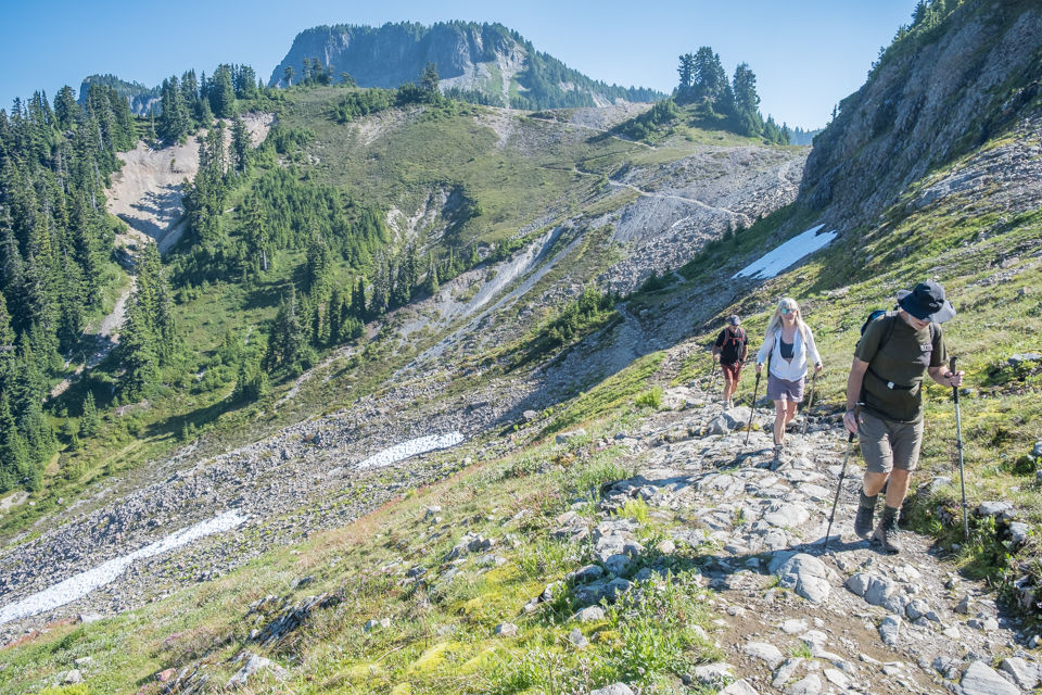
Looking back at Table Mt -- north.


Nature's flower garden. Pink heather, purple lupines and yellow arnicas.


east
Monkey flowers grow by the creeks. We had to cross numerous snowfields but did not use micro-spikes.

Mt. Shuksan in the background -- northeast.


Turning the corner and gaining access to the ridge.

The ridge leading to the East Portals, our destination -- southwest.

Littleflower Penstemon

This was the steepest part of the trail which was mostly snow-free.


Made it! -- west

Notice there is no smoke left of Shuksan.

Penstemon like to grow by the boulders.

Vincent & Daan did pretty good, considering they come from a country that's mostly below sea-level.
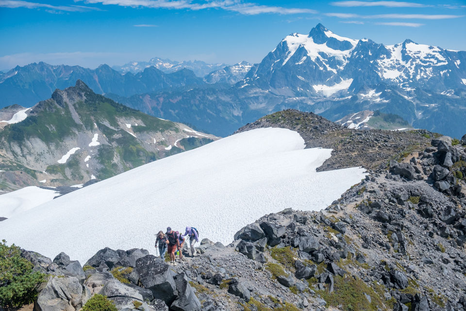
Here come the others.

Lunch time.


Group shot, back row, L to R; Dave G, Sue A, Lorenz B & me
Front row; Daan & Vincent, Irene & Simon H, Denise D + Dawn L

I've summited this 3300m high mountain 3 times, always from the other side.

Heading back.


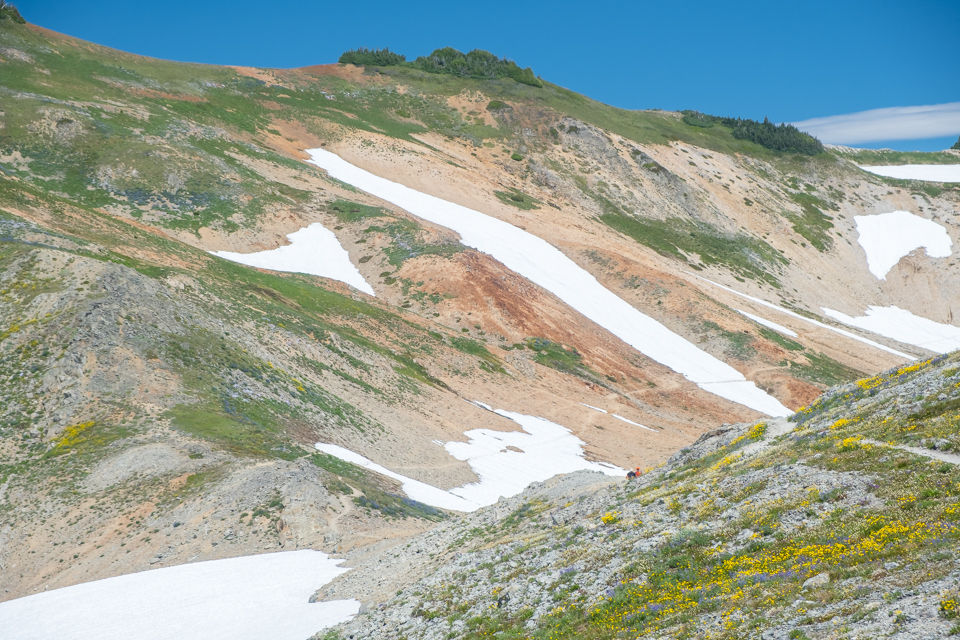

Ptarmigan Ridge.


At the end of the ridge we branched off to check out the tarn.

We stopped at a ledge above the tarn (15-minutes in). It would've taken to long to go all the way down to the lake and there was no distinguished trail.

Dawn found a way to cool off.


Only one hour later and look at the forest fire smoke! Apparently it was by Harrison Lake.


Table Mt.
Thistle. Spirea


Comments