
Slesse Mt.

October 31, 2026 -- Chilliwack River Valley
Stats: 16.5 km / 1062m gain / 6:10 hours MT
It was great to be out with the club again, after a 2-month absence due to other trips and then back issues. This hike was a beauty, with fresh snow above 1000m, soft sun and jagged, some almost vertical peaks all around us.

A stop along the gravel road to the trailhead.
We parked by the first of two washouts which added only 10-minutes of walking to the hike.


Angel Wings.

The towering top of Slesse.

The Rexford Range from the first viewpoint -- north.

At the commemorative plaque of the 1956 Trans Canada airplane crash that claimed 62 lives. This is where most of us put on our micro-spikes.

Our destination was left at the base of the Mt. Slesse, just a bit out of sight.

north

I've hiked to the base of the Mt. Rexford spires, up the steep gully to the right.

Several hikers from our maintance group came up to clear the trail of alder branches a few days later. Thanks, Lori B for organizing this.

Once out of the larger trees, the pace slowed down significantly due to the increase in snow and steepness of the slope. Thanks, Vic for leading and breaking trail.

Crossover peak to the right.
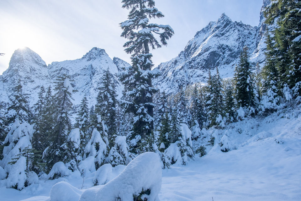
southeast

Almost there.

Made it! We'd started at 8:45am and arrived at 12:45am. The propellor was still visible, it being the first snowfall of the season.

Sheri & Dave dressed in the spirit of Halloween. Good times.

John was milking the cow.
From southeast to north.

Group shot, left to right, back row: John Mc, Denise D, Patrick R, Sheri K, Vic M, Charlotte H, Iraj F, Karl V, Dave G, me
Front row: Dawn L, Sue A

Heading back down into Chilliwack River Valley.


I was hearing some groans and grunts behind me, as there was a bit of unsophisticated slipping and sliding going on.

We regrouped back at the memorial plaque where Iraj was entertaining us with some of his tall tales.


glad to see that Vic made it.....Looks like a great group.