
Stein Valley Nlaka'pamux Heritage Park
- Jocelyn Timmermans

- 2 hours ago
- 3 min read
April 29, 2026 -- Lytton
Stats: 28.3 km / 860m gain / 602m high / 7:40 hours MT
A suggestion last week became a reality this day. John Mc & I have revisited this trail on a regular basis over the past 20 years (me 6x now), with a gap after the 2021 fire. So we were surprised that the majority of our group of 19 had never done it before. This trail is the first 14 km section of almost 100km that runs through the Stein Valley watershed to Lizzie Lake by Pemberton. Beyond the suspension bridge there isn't much sign of a trail anymore.
The Lower Stein valley holds much spiritual significance for the Indigenous people. Key features were the Asking Rock, memorial tree and pictographs (from 1800-1860) which are actually a Unesco Heritage site.
This day felt more like a mini trip. The reaction ferry, a different ecological region, a raging river and Idignenous artifacts lent to the holiday atmosphere.

The traditional group shot when we were all fresh and clean: Top, L to R: Ingrid F, Owen W, Sheri K
Middle row: Allan M, Sue A, Patty A, Jen M, Brian H, Patrick R, Dawn L, Cammy P, Linda H, Janet B (guest), Irene & Simon H, Jim A, Christine C Front row: me, John McL who was my partner in planning this day

Eager and ready to go, was a stark contrast to how we returned almost 30 km later in the heat of the day.


Crossing Stryen Creek.

There were alot more Arnicas last year when a few of us hiked this trail 9 days later in the year.

Penstemon

Sheri & Jim scrambled up onto this bench and John took a fish-eye view photo.
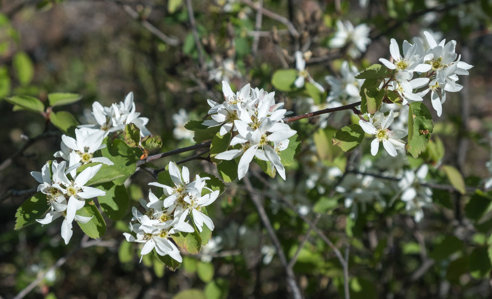
Serviceberry

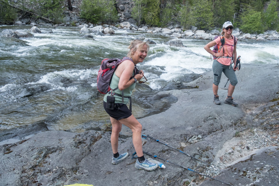
The trail stayed left of the Stein River, a few times touching it only to wind away, higher and a bit farther from it.


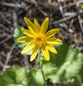
Indian Paintbrush Arnica

Love the red bark of the Ponderosa Pine.

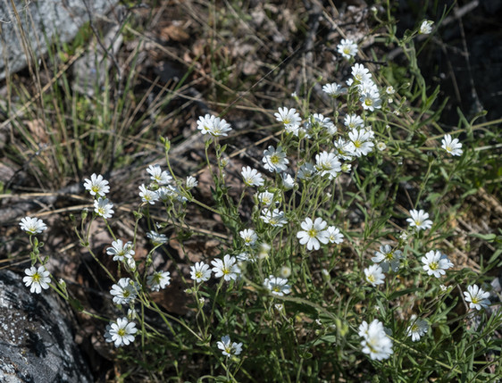

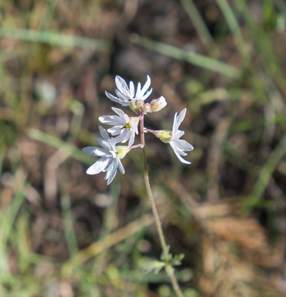
Chickweed Wood-land Star

The Devil's Staircase to the first boulder slope was the steepest and highest part of the trail.

The memorial tree.

The short trail to the pictographs does not have a sign.


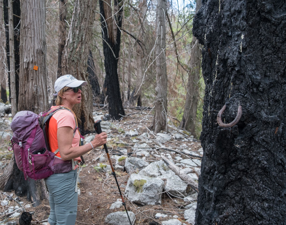
The forest showed signs of rebirth but also scars from ravages of the 2021 fire that burnt most of the town of Lytton.

The second boulder slope did not involve as much of a climb.


Clematis.


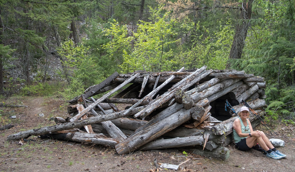
Trapper Earl's cabin collapsed several years ago. This is where we regrouped and had lunch.

Nine of us continued to the suspension bridge after a short lunch break. The trail was now less distinct but had occasional markers. I would not attempt this without a GPS.


A short sketchy piece.

Oregon Grapes.

There were many sink holes caused by fire in the ground.

Made it. It took us 45-minutes to get to the suspension bridge and 40-minutes to get back to Earl's cabin. In total it was 5 km and 1:30 hours return to the cabin.

Janet, Dawn, Cammy, Brian, Sheri, Allan, Linda, Owen + me who took the photo.


A big boulder had fallen on the far side of the bridge. We used to go down the far side and dip our feet in the cold water.

Heading back at a brisk pace.


Getting close to the trailhead, we filled up water bottles here. A few of us had run out of water. Temperatures crept up to 23C. But the river created a cool breeze.


The rest of the group had gotten back to the campsite / parking lot half an hour before us. They settled in with their ice cold drinks (thanks John!) and had no problem waiting for our return so we could all dig into the delicious potluck together.
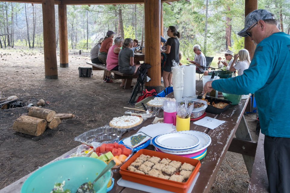

Good times. Thanks to everyone for partaking in this wonderful day and for bringing all those goodies afterwards. We really didn't want to leave, being very comfortable and having good fellowship in our group. The act of getting up seemed too much effort for our tired stiff bodies.Thank you Owen, for proposing a toast to me (and I promptly said how John was in on the planning as well) but especially for proposing a toast to my late husband, Case. That prompted us to share some good, silly and crazy memories of him.

Driving back to the ferry took about 15 minutes.

By 10:15pm we were in Chilliwack. Thanks, Owen for driving us home.


Comments