
Watersprite Lake to Dreadnought Col

July 13-14, 2026 -- Squamish -- Pinecone Burke PP
Stats on day 1: 9.6 km / 724m gain / 1455m high / 3:15 hours MT / 4WD
I'm always in search of new trails to try. Last year the Federation of Mountain Clubs of BC built a new trail from Watersprite Lake to the col between Dreadnaught Peak and the Watersprite Tower. For everyone except me, it was a first time to this gem of a lake nestled in a bowl surrounded by peaks. And it was a first time hiking in the alpines for my two dutch students, coming from a land that's flat as a pancake. They were so thrilled with it all.

We left Cindy's place in Aldergrove at 9:00am, avoiding rush hour. Then in Squamish we met up with Tom & Donna Dukart from the island. It was about an hour's drive on gravel road, the last 20-minutes being on a rather rough road that required 4WD. We started hiking at 12:45pm.

Mamquam Mt to the right -- north. The grade was comforable although our heavy overnight packs required some getting used to. We were sweating buckets.

Daan & Vincent (aged 18 + 19) got these two days off of work (from our company). Not sure which would've been harder work though. Their bodies were not use to climbing.

Garabaldi Mt -- west.

It was nice & cool at these falls. We got to know this friendly couple, Ben & Maddi because they were hitch-hiking, having parked their 2WD farther down the road. Of course we gave them a lift. Later they returned a big $600. favour when they messaged our COC Facebook page, saying they found my jacket at the campsite. Thank you so much!


The trail turned from heading south to east, through a valley.

This boulder field required some cautious steps.


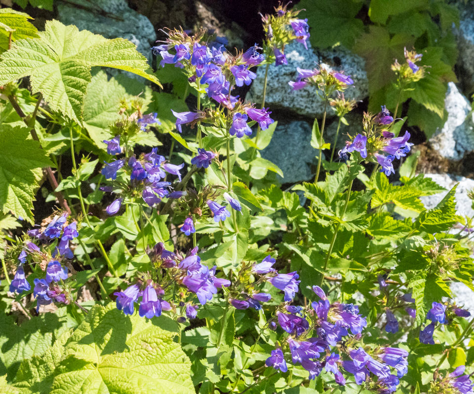
Penstemon
After the boulder field there was a short section of forest before the final steep push to the lake.
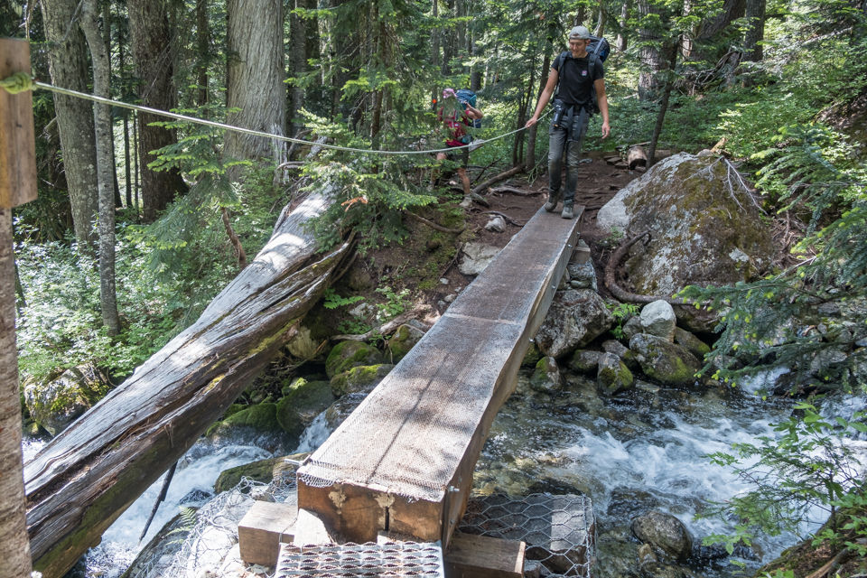

It doesn't look like it, but this slope was steep, zigzagging through the boulders.


Arrived. The Watersprite Tower and lake in all their glory. It was about 4:00pm.

Then we had to make our way over boulders again to the campground on the far side of the lake.


Relaxing while soaking tired feet in the cold lake water. I forgot to take a group shot but here we have Vincent, Daan, Tom & Donna D + Cindy W. Also along was David G.


We had this corner of the campsite to ourselves.

The heat, terrain and heavy loads had taken a toll. So we decided to try the new trail in the morning.


Day 2: Stats: 9.8 km / 305m gain / 1752m high

Refreshed and ready to explore once again, leaving our tents and packs at the campsite. Martin Peak to the right (south) is quite accessible but had too much snow on it yet.


Hats off to the trail builders. There was alot of rock work, some larger flat ones fitting together like a puzzle.

The trail curved to the left of this bowl, to the col.


Watersprite Tower to the left, Martin beside it and the lake to the right.

Arrived at the col, our destination. I climbed up the boulders to the right to get a peek round the corner.

Buttercup

Views behind the Watersprite Tower -- south.

Notice the small tarn in the middle.

northeast

It was still quite early, having started the hike at 7:15am. David suggested we hike up this very steep slope to a bit of a platform and see if we could continue the climb from there. The col we were on is down below.

It was more of a scramble, involving all fours and once at the platform we quickly decided it'd be too dangerous to proceed. We were now only 32m lower than Martin Peak.

The Tantalus Mountain range with Squamish in the valley -- west.


The red roof of the outhouse below.

We followed Cindy on a different route down, sticking to the snow. The dutch boys weren't so sure. I should've gotten poles for them.


Leaving the campsite.


The col between Dreadnought & the tower.


Indian Paintbrush.

We took the secret steep unmaintained trail down through the forest, thus cutting about 40-minutes off of the hike. By 1:00pm we were on the highway, happy to be avoiding rush hour once again.


Comments