
Community Forest via Thaletel Trail
- Jocelyn Timmermans

- Mar 14
- 2 min read
March 13,2026 -- Chilliwack, Lexw Qwo:m Park
Stats: 10.5 km / 600m gain / 535m high / 9:00am to 1:15pm (including breaks)
This trail network is so close by and yet most of us had not done it before. What better way to spend a lightly snowing day, than to hike through this lovely rain forest? And no worries of running into mountain bikers.
I hadn't been out with the club for a month and a half due to the enormous job of moving from my large 40 year old home, to a not as large retirement home. I also had a relaxing three week holiday to Costa Rica in between. So this was a nice moderate excursion to get my body back into hiking mode.

A new hair-do for John.

After taking the Annis Rd exit, we turned left and drove parallel to Hwy 1 on Hack-Brown Rd. turning right into Lexw Qwo:m Park. There were plenty of informative signs on the first quarter of the Thaletel trail.
In 1950 a dam was constructed on Dunville and Nevin Creeks. In 1957 the Little Mountain reservoir was upgraded to have a 2.5 million gallon storage capacity. In 1981 the District of Chilliwack aquired the Elk Creek Waterworks for 5 million dollars. In 1998 these three locations were shut down, leaving deep wells in the Sardis-Vedder area as Chilliwack's drinking water supply source.

We soon ran into fresh blow-down after a storm a few days prior in which winds went up to 100kmph. But this was the only spot that we had to detour around debris. On the way back we took a different trail down.


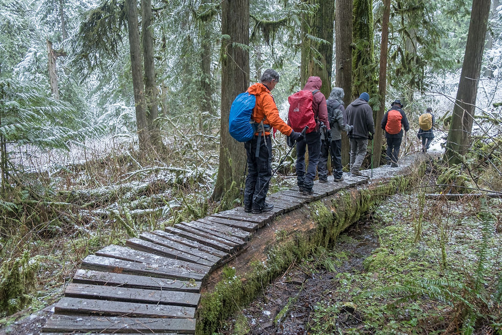
A light dusting of snow. Careful steps on the slippery wood walkways.


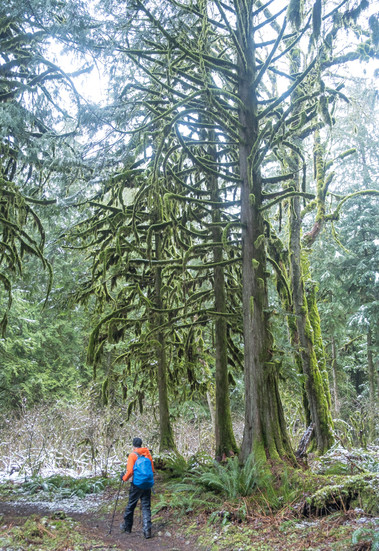
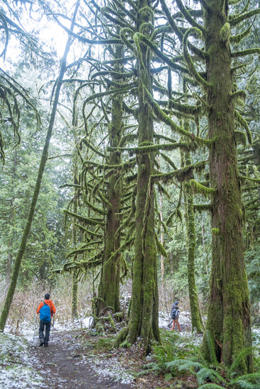
The guys are looking for cougars. After a steady and steep climb, we turned right onto the Upper Canyon trail, following the conture lines west.

The junction to the Gloria Trail was the highest point on the trail where we stopped 2 hours later for lunch. This point is about halfway up to the ridge leading to the Gloria viewpoint. It wasn't till we were almost finished lunch, that John discovered this little elf resting under our bench.

Group shot, L to R, back row: Dennis (friend of David), Kevin D, Paul L, Lonja J, William W
Front row: John McL, me, Joe K


Turning north and downhill, the trail followed alongside Ford Creek.


Then we turned right onto the Canyon Loop trail which led us to the Community Forest parking lot.


From the parking lot, just past the shelter we turned right back onto the Thaletel trail. From there it was 2.5km to our parked vehicles.

We turned onto the mountain bikers' trail which goes by the same name, for the final descent, thus avoiding the fallen debris.


Nice to see you back on the trail. Also good to see Joe hiking.....