
Four Day Hikes by Phoenix - set 3
- Jocelyn Timmermans

- Apr 30, 2024
- 6 min read
Updated: May 4, 2024
March 29 - April , 2024
Our third phase of the trip was spent near Phoenix, doing four day hikes of which two were in the Superstition Mountains. We spent four nights at the Koa Apache Junction which was only a 20-minute drive from them.
Day 10:
Camelback Peak
Stats: 2.4 km / 411m gain / 830m high

It took two hours to drive from Tucson to Phoenix. This short hike was in the midst of a posh district on the outskirts of the city. It was Good Friday so it was very busy. We parked in-front of this lovely home, 1.24 km from the trailhead.


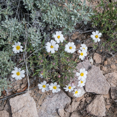
I don't think this trail warrented such a rating. But with so many people using it, I suppose they want them to be properly prepared. Flowers: Plains Blackfoot

Some of the homes were so large, they looked more like hotels.


People gathered at the summit.

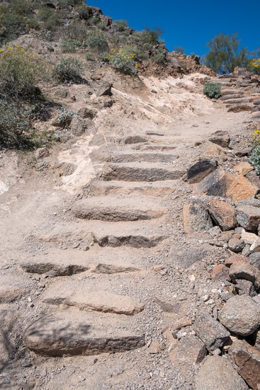
The last kilometer or so was rather scrambly.

The Echo Canyon trail continues from the summit, down through Echo Canyon.

Looking at the trail we'd come up on.


Iraj, Case & I. Brigitte & Al were stayed near Tucson, hiking Mt. Wrightson.

Heading back down.


Day 11:
The Flat Iron
Stats: 13 km / 1030m gain / 1400m high / 3:25 hours MT
Case & I had done this hike 4 years earlier. But it was definitely one I didn't mind repeating. It was a "must do".

Up with the sunrise. We parked by the Lost Dutchman campsite.

Approaching the passage that would get us to the Flat Iron (middle).

Destinaton in sight (middle).

Looking back.

Siphon Draw.

Perched on top of the draw, waiting to regroup. Dave & Val coming up.

From this point the route angled to the left.

A narrow path led up this steep rocky slope before dropping down briefly on the other side.


Up & over. After this point, the steep route led up a rocky gully.

The final push up the gully before the ridge, was almost vertical. Turning right on the ridge led us quickly to the Flat Iron.

Al, Johnny, Iraj, Brigitte & I

After lunch three of us went on to explore the rock conglomeration on the left.


The trail had become quite faint higher up. I'd been delayed a bit because of a phone call so we got separated. Al & Brigitte were just about to turn back when I called out to them.


From the Flat Iron, we saw tiny little people on the summit. How did they get there? We were searching for a trail at this point. Brigitte had talked to a lady on the ridge who said we had to summit because it wasn't much farther and was so beautiful up there.


And then we saw her and her friends, squeezing through this small opening in the bolders. We clambered round a bolder where we'd been standing and searching and found a very faint trail. And up we went, excitement and success spurring us on.

Made it!!! The Flat Iron in the middle and Phoenix in the distance.

Al said he was the "thorn between the roses".


Once we headed down again, after squeezing through the rock hole, we branched off to the left, following the route that the others had taken, which got us back onto the trail I'd taken up. This photo shows a second gap between the bolders.


pic 1- Hmm. We didn't like these high steps that required letting go and dropping before getting a foothold.
pic 2 - Looking back at the final vertical just under the ridge.

Almost back at Siphon Draw.


Chuporosa


Day 12:
Silly Mt. - eastern Phoenix
Stats: 4.6 km / 240m gain
Our plans changed for this day. It had rained hard all night and the roads were subject to flash-flooding in the dips. So we were advised to do this shorter leg-stretcher close to our campsite.

A small botanical loop trail at the parking lot, was the nicest part of the hike.


Octillo cactus Fish-hook cactus

Brittlebush


Prickly Pear Cactus.


View from the high point.


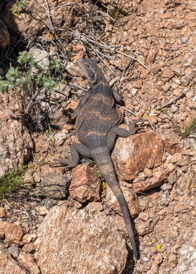
A quail on the right rock.

A rather soggy cold group shot: Brigitte, Al, Val, Dave, Cal, Deb, me & Case

Day 13:
Fermont Saddle to Lone Tree to Geronimo's Cave - Superstion Mountains
Stats: 9.75 km / 632m gain
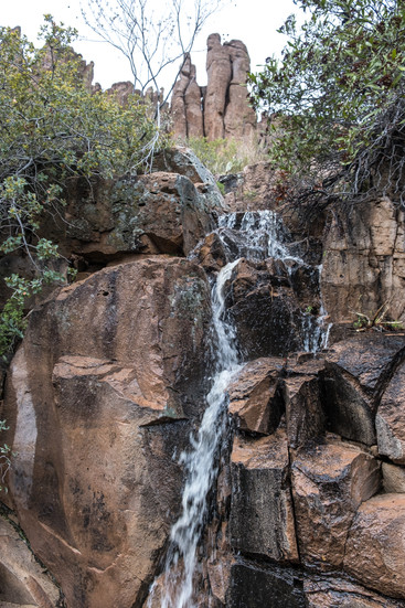
I was so glad when we woke and the incessant rain and dark clouds had begun to part. I so wanted to do this hike. Four years earlier, when Case & I were having a burger at the saloon in the Goldfield Ghosttown, we talked to an older couple in their late 80s who were the live entertainment for the evening. They were deftly playing a fetching tune on their fiddles and singing for the patrons. They grew up by the Superstion Mountains and advised us to go past the Fermont Saddle, to the Lone tree and then return on the higher ridge, along Geronimo's Cave which was just a bit off trail. Because it had started raining at noon, and from doing the research I knew there was a pretty sketchy piece to negotiate on some smooth rock faces during the descent. So I was thinking it wouldn't be safe to do it. But that's not how the day turned out...

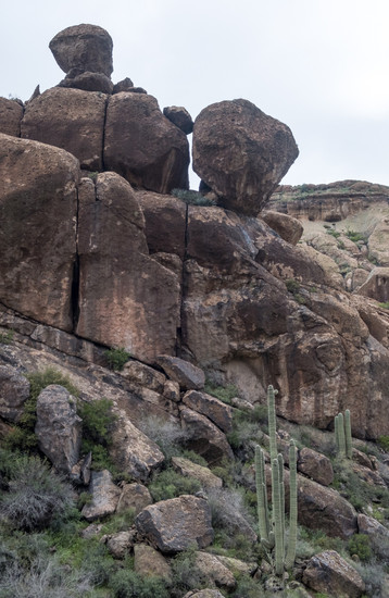
This was a more remote area, having had to drive on Peralta gravel road for 8 miles to get there.

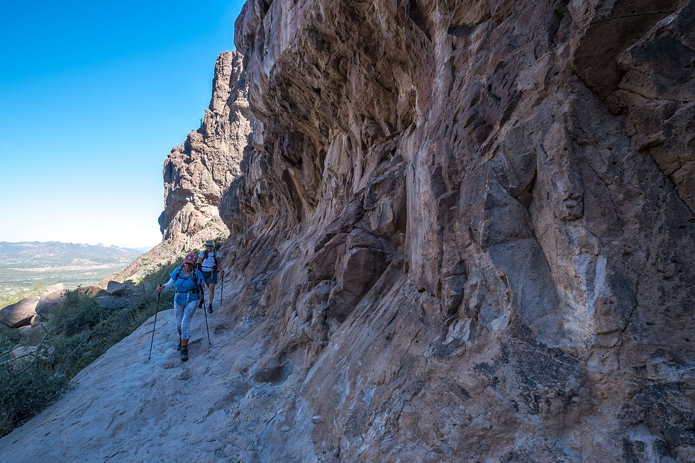
The well maintained Peralta trail led northwest through Peralta valley to the Fermont Saddle.

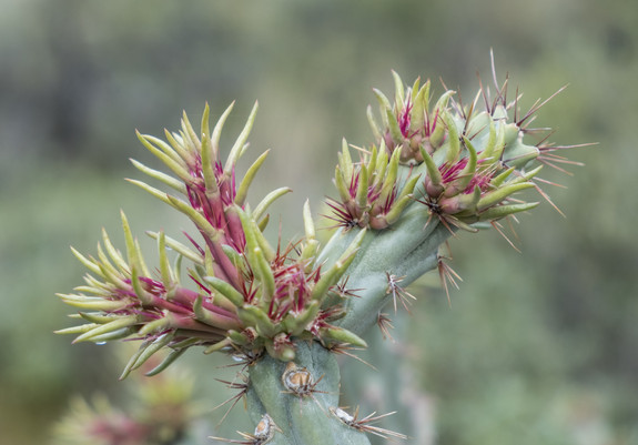

Flowering Cholla Naked Buckwheat


To our right, high up on the ridge, was Geronimo's Cave.


This young couple met us back in the parking lot and ended up doing the whole hike with us.


Looking back.


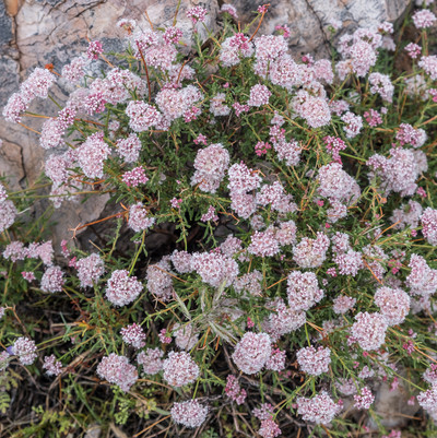
Yucca Tufted Evening-Primrose


View of Weavers Needle from the Fermont Saddle with the Lone Tree to the right.


Chilean Nightshade

From the saddle it was about a 10-minute walk to the Lone Tree.


The best views of Weaver's Needle were from the Lone Tree.

The legend goes that in 1845 Don Peralta discovered a lode of gold in the shadow of Weaver's Needle. A few decades later, Jacob Waltz, a German immigrant whom locals called the "Dutchman", claimed on his death bed in 1891 that he found Peralta's mine. But the mine has never been found.


An optical illusion. We had no idea there were two rocks there until the cloud got between them.

Group shot: me, Case, Cal, Seban, Al, Iraj & Violet

At the junction to the trail, we had to make a choice. Most of the men wanted to go for the higher Cave trail route. The rest of the group decided to stick together so off we went, into the unknown. How bad would that sketchy spot that I read about in the book be? Would we have to turn back and make a very long day of it?

Tuff.


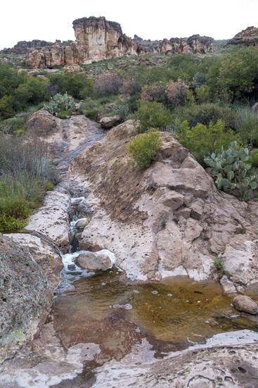
This wet bedrock looks slippery. But actually it had a slighty coarse surface which made it doable.


We surprisingly ran into two young boys here. They'd come up on the Cave trail and warned us about that sketchy spot but didn't say it wasn't doable.


Just a bit off the main trail, a lesser trail led quickly to Geronimo's Cave.


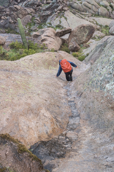


Now came the hard part.

I ended up going to the left more, down a very narrow gully from which I had to let myself drop at the bottom. The others weren't so keen on doing that, so they stayed more to the right, on the rounded and steep smooth bedrock.


They did great team-work, gently guiding eachother down.

From there it was smooth sailing. We could now see the parking lot.

We had a break here. This is the area to our left, which on the map shows a 4x4 road winding through the park from north to south.


Most of us had dinner at the Frasher's Smokehouse restaurant in Phoenix. This was our last day together as a 12-person group. Case & I, as is usual with our annual RV-convoy trips, headed home on our own and on the way did some more exploring....

We ascended on the red Peralta trail to the left, and descended on the turquiose Cave trail running parallel to it on the right.
To be continued in my final blog - set 4.


Comments