
Nicomen Peak
- Jocelyn Timmermans

- Oct 24, 2025
- 3 min read
October 21, 2025 -- Mission
Stats: 17 km / 1348m gain / 1243m high / 6:15 hours MT
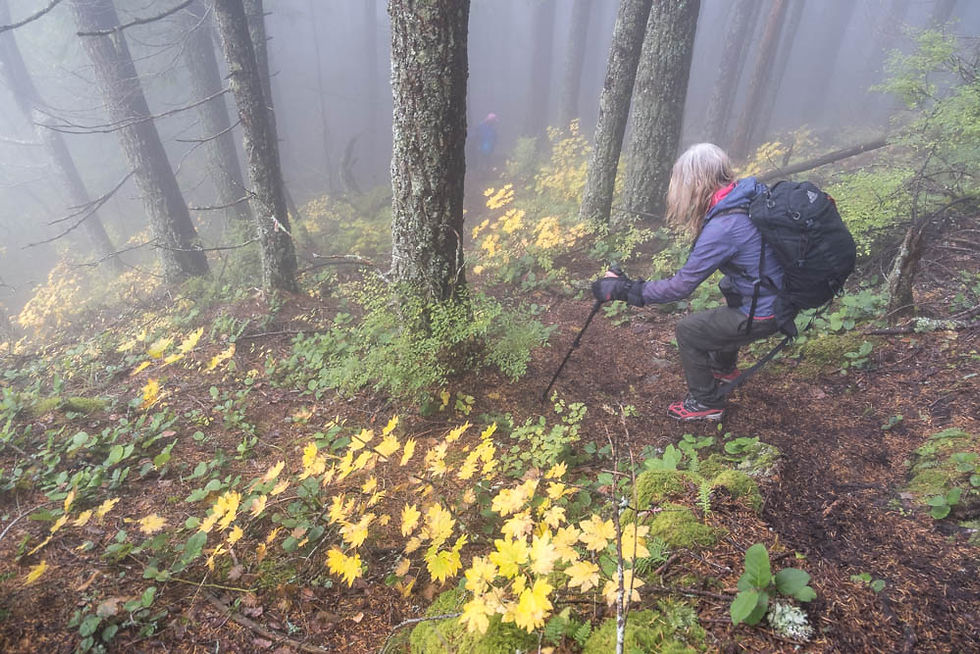
I changed my mind. I had posted this hike as challenging. I think it's actually very challenging. I rarely get sore leg muscles but I did after this one. Why? Because it's very steep, going almost straight up with very little in the way of switchbacks. Add to that the fact that it was wet and slippery. But it was nice to see the trail was more trampled and defined. Last time I did it was in April 2021 when it was brand new. This was the first time I made it to the lookout just beyond the treed summit. Last time there was too much snow.
I was surprised to see a whopping group of 18 signed on for this hike. Six did not make the summit while the rest of us were pushing our limits as we trudged on, ever upwards.

This was the only day this week that offered some sunshine. We parked on Hawkins Pickle Road, on the south side of the train tracks, then crossed the tracks, following alongside Norrish Creek before beginning the steep ascent on Little Nicomen Mt.


At the Ravens Bluff viewpoint we were only 1/8th of the distance to our destination. This is where most hikers stop. Sheri and her friends built this bench in memory of their friend who used to do this hike weekly with them.


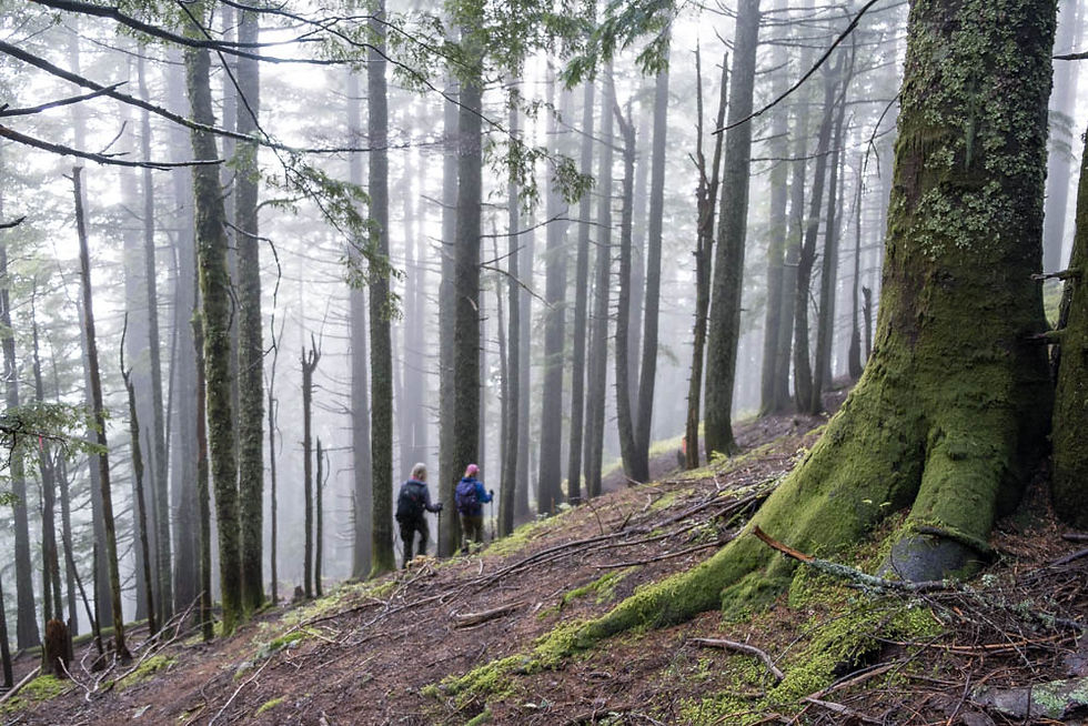
Beyond the Ravens Bluff viewpoint the trail became less distinct. It leveled off for about 20-minutes, on a deactivated FSR.

Ground Pholiata, a species of Scalycaps

Then we began a gradual ascent on a more open FSR. It became rather overgrown before we got to the turnoff, marked by a beer tin over-turned on a branch. That's where the hard part began on a slope with an average grade of 30%.


We maintained a steady uphill. Stopping more than a few minutes on the higher parts of this slope would've made it very hard to start up again.


A few rays of sun. Hoping the forecast would stick, with the skies opening up after lunch.

Phew! Made it to the summit box.

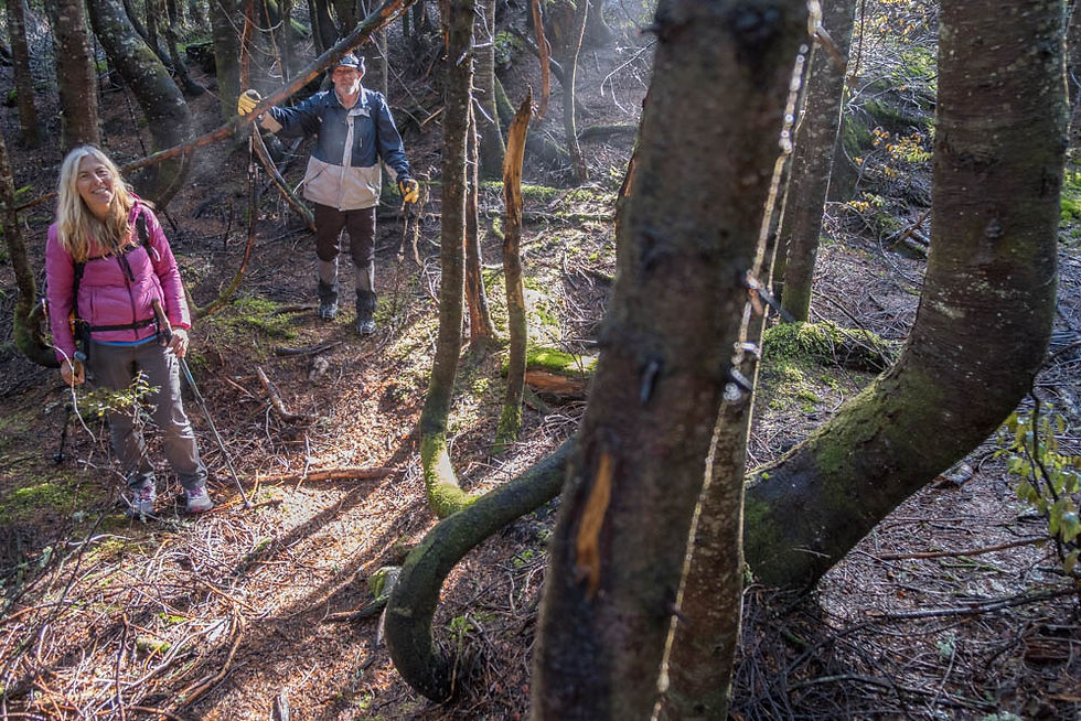
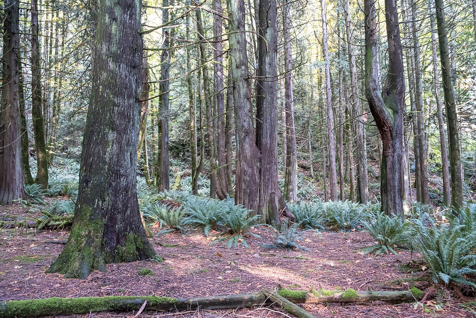
Then down on a faint trail but marked with orange flagging tapes. We were deep in the dark dense forest, before popping out in the open and doing a bit of bushwhacking.

We had just arrived and the sun came out! It stayed that way till four others arrived half an hour later and it closed it again. But the clouds came and went quickly.

Partial group shot: Sheri K, David G, Sonja L, Cindy W, Brigitte G, Stelian A, Carol A, Brian H, me, Kevin D, Mary R

The tips of Slesse, the Border Peaks, McGuire Moutains -- southeast.
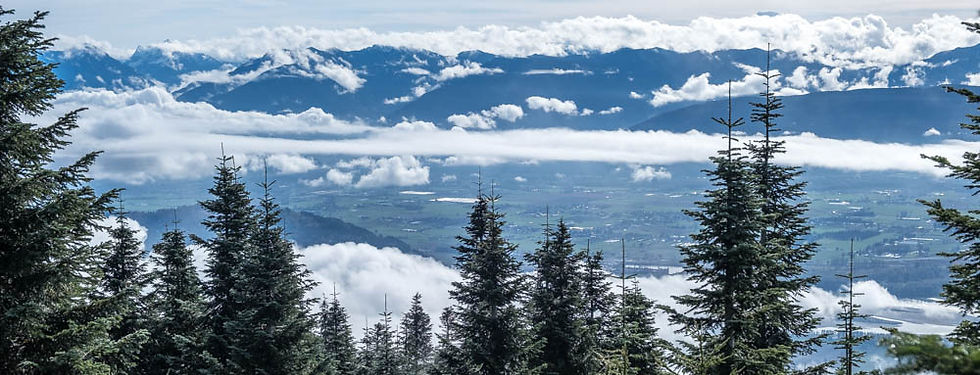
Sumas Prairie -- south.
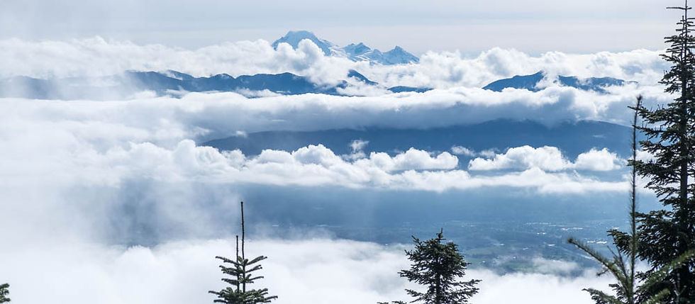
Mt. Baker -- south.

The Fraser River in Deroche with Sumas Mt covered in cloud -- southwest.

I wouldn't want one of these falling on my head.


Beginning the long knee-grinding descent. Several hikers strapped on their micro-spikes.


Sulphur Tuft


Back at Raven's Bluff viewpoint, this time in the sun.
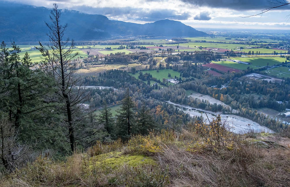
Norrish Creek with Deroche backed up by Sumas Mt and Matsqui Prairie to the right -- southwest.

west


Watching the fishermen while waiting to regroup.


A final group shot: L to R, back row: Selian A, Johnny, G, Brian H, Carol A, Owen W, David G, Lorenz B, Simon H Front row: me, Denise D, Kevin D + Cindy W. Missing from both shots were Dawn L & Ken A.


Comments