
Slhanay Peak
- Jocelyn Timmermans

- Apr 17, 2022
- 2 min read
Updated: Apr 17, 2022
April 15 - Stats: 10.7 km / 814m gain / 693m high / 4:30 hours MT
Slhanay Peak is just north of the renown mountain climber's Stawamus Chief Mt.
We did two hikes in the Squamish area (also Pethill Lake), both were more remote and great for the shoulder seasons. This one is steep and rugged, requiring a GPS and good sturdy pair of boots. Not a hike for novice hikers.


We drove 1.4 km down the Mamquam FSR and parked by the trailhead.

The big boulder a hop & a skip from the trailhead.


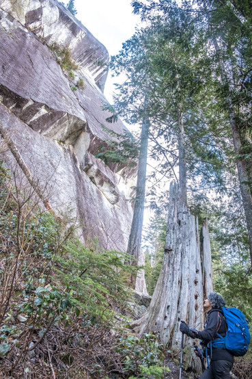
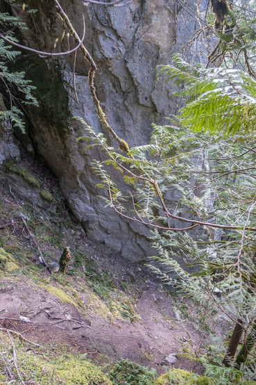
Making our way along the base of this massive rock wall.


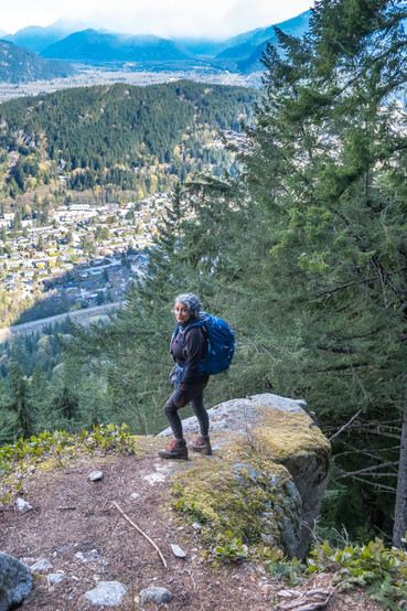
Notice the rope in the left pic. This marks the north col of the Chief. After this the grade became less steep. The town of Squamish in the right pic. There were several closeby viewpoints along the trail.


After about an hour, we got to this was a beautiful viewpoint, showing us the Chief from a different angle and the mouth of the Squamish River where it empties into the head of Howe Sound.

West.

Garabaldi Mt. to the right.


This was a viewpoint not worth doing.


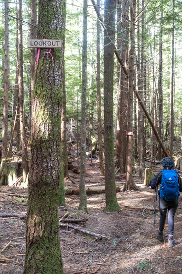

And this was a viewpoint to Tony's Lookout that you don't want to miss.


The Tantalus Mountain range to the west.

The Chief -- southwest. Not far past the junction to the out and back lookout trail, we almost missed the junction to the left for the summit. Now the trail became less distinct and even rougher.

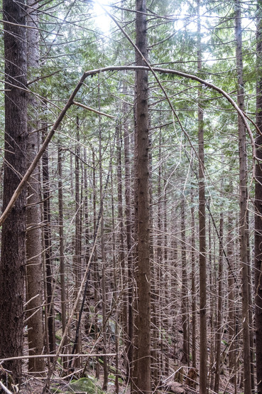
A long tree growing curved and horizontally.

Made it to the summit. Northwest to northeast.

Finally a sit for lunch. The Sea-to-Sky gondola is on the other side of this mountain -- south.

Tantalus Range -- west.

Squamish -- north.


Heading back down. From the summit we descended the granite peak and then continued on clockwise, to do the loop. This way we ascended the steeper rougher way and descended the more gentle longer way.


Garabaldi not obscured by cloud. What a treat!


The short spur just before the loop is Tony's Lookout.
Note: In Stephen Hui's "Destination Hikes" book, he states that this hike is 5 km when its actually over twice as long.


Comments